
How Accurate Are 3D Site Surveys for Property Planning?
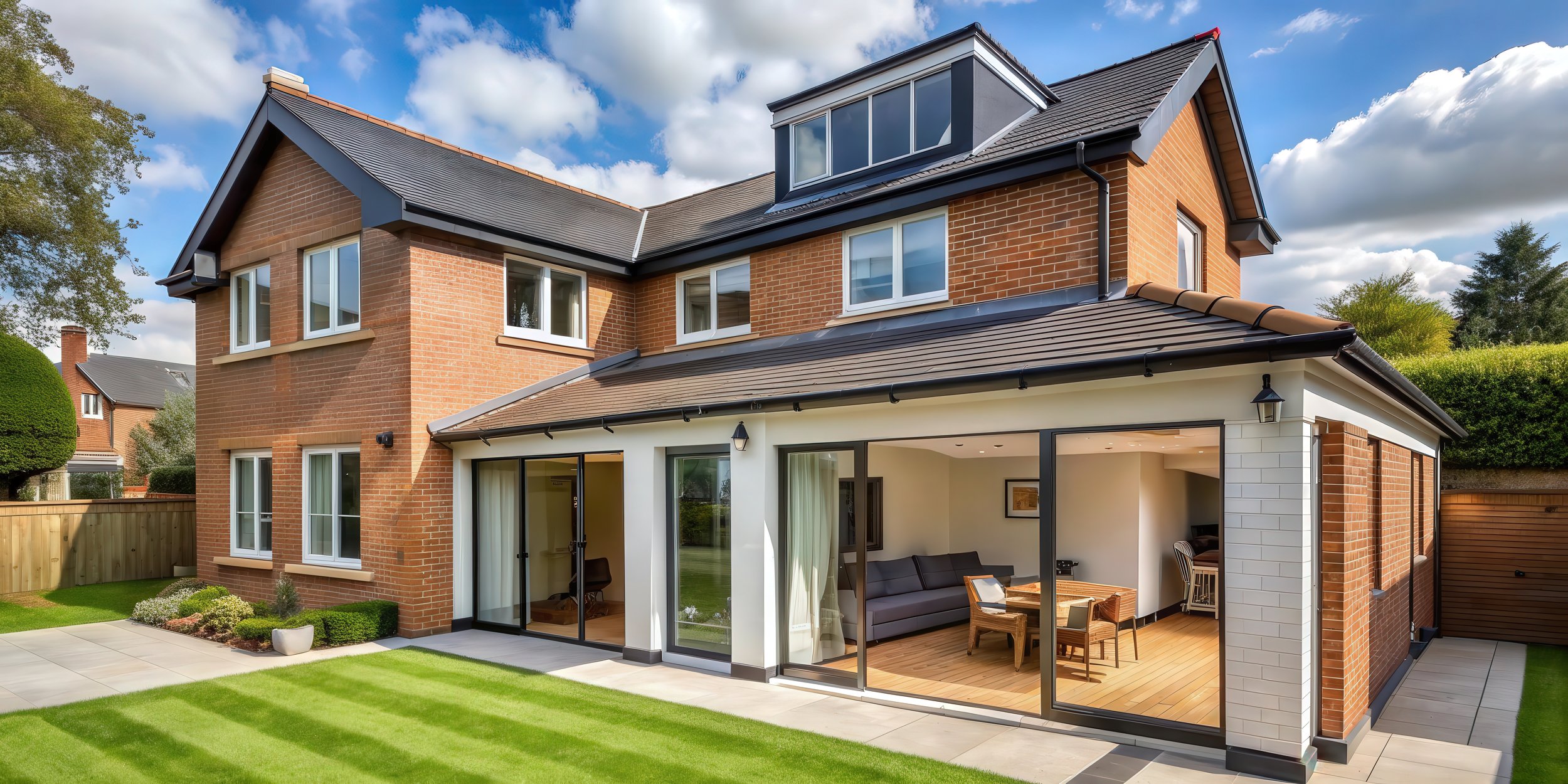
Accurate planning lays the foundation for successful property development. Whether you're extending your home, building a garden studio, or undertaking a full renovation, precision from the outset is essential, and that's where 3D site surveys, powered by Matterport technology, redefine the private housing sector.
Once used only in large-scale construction, 3D site surveys are now a key resource for homeowners and small developers alike. But how accurate are they really? And what value do they bring to your property journey?
Let’s break it down.
What Is a 3D Site Survey?
A 3D site survey combines laser accurate measurements with millions of pinpoint photos of your property through a combination of and photogrammetry. These data points form a detailed, navigable digital twin of your property
Compared to traditional surveying tools, 3D surveys deliver:
Rapid extraction of exact building dimensions and detailed imagery
Localised ground levels, terrain contours, and surrounding topography
All existing structures, trees, site features, and even drainage networks
At Nova Habitat, we use this data to build high-resolution digital models that power planning applications, technical building reg design, and seamless collaboration with planners and builders.
Just How Accurate Are They?
With professional equipment and experienced surveyors, Matterport enabled 3D surveys typically offer accuracy within 1–5mm, more than enough for design, planning, and building regulations.
For Architects & Designers:
Accurate alignment with site constraints
Reduced risk from unforeseen design limitations
Seamless collaboration with other consultants/stakeholders
For Homeowners:
Confident planning decisions and fewer reworks
Cost certainty through clearer scope definition
Better understanding of property potential
Where They Add Real Value
Visual Precision
Digital models allow full walkthroughs and 360° site views, helping clients, planners, and contractors understand the project in context, something flat drawings can't match.
Planning Application Success
Applications backed by 3D surveys help planners see the big picture. Councils are more likely to approve proposals with strong contextual clarity.
Design & Construction Alignment
Everyone works from the same digital truth, meaning fewer errors, fewer site visits, faster project cycles, and ultimately greater savings.
The Process, Simplified
Nova Habitat’s 3D site survey includes:
On-site scanning using Matterport or drone-based tools
Processing into advanced CAD software (Revit) and PDF deliverables
Sharing with your design and build teams
Optional virtual walkthroughs for stakeholder presentations
These outputs support your full journey from planning application to builder handover.
Why It Matters in Today’s Market
In 2024, UK house prices rose 4.7%, prompting more homeowners to improve rather than move. Simultaneously, the Levelling Up and Regeneration Bill introduced new regional planning rules.
To stay compliant, efficient, and within budget, homeowners need precise data and clear visualisations, which 3D site surveys provide.
Contact Us
Smarter Planning Starts with Better Data
A 3D site survey is more than a tech upgrade; it’s your best asset for de-risking projects, streamlining planning, and creating homes that match your vision.
With Nova Habitat, you're backed by a team that combines technical rigour, creative insight, and end to end support from concept to completion.
FAQ’s
Do I need an architect or architectural designer to get started?
You don’t legally have to, but starting with a designer helps avoid costly mistakes and delays.
Can you help from design through to construction?
Yes. We offer an end to end service, from survey and design to planning, building regulations and construction support.
Do you work on small projects as well as larger builds?
Absolutely. We work on everything from small extensions and loft conversions to full new build homes.